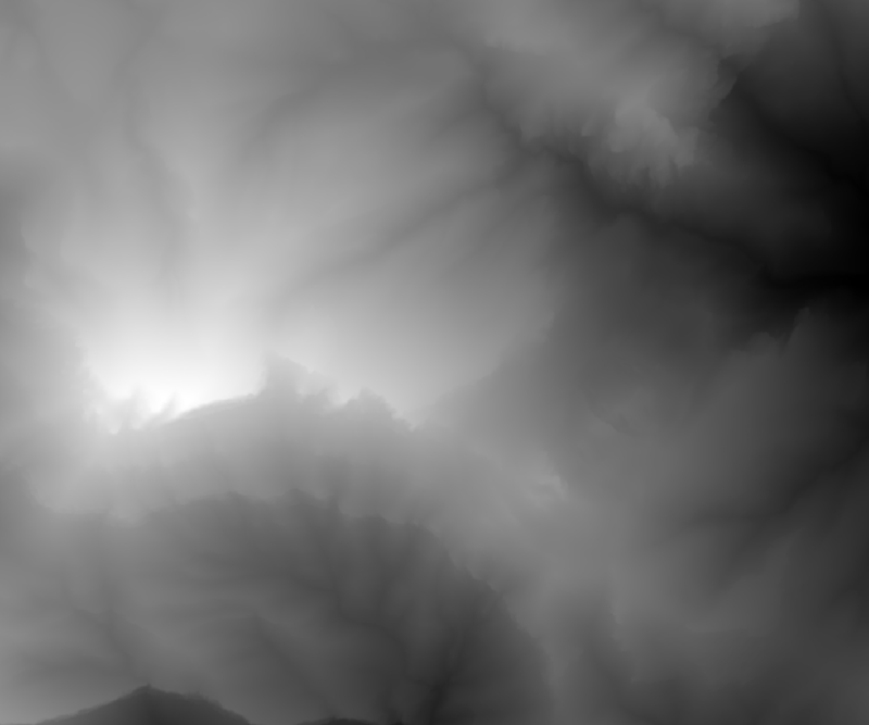
 1. DEM ASC File
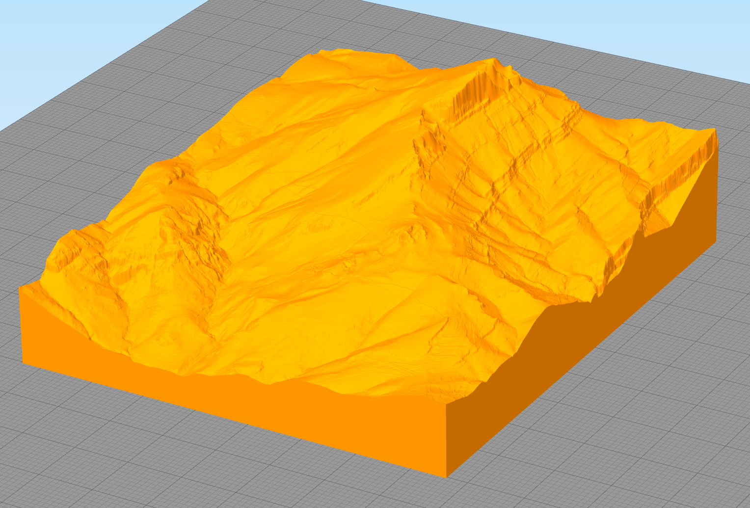 2. 3D Model (OBJ/STL)
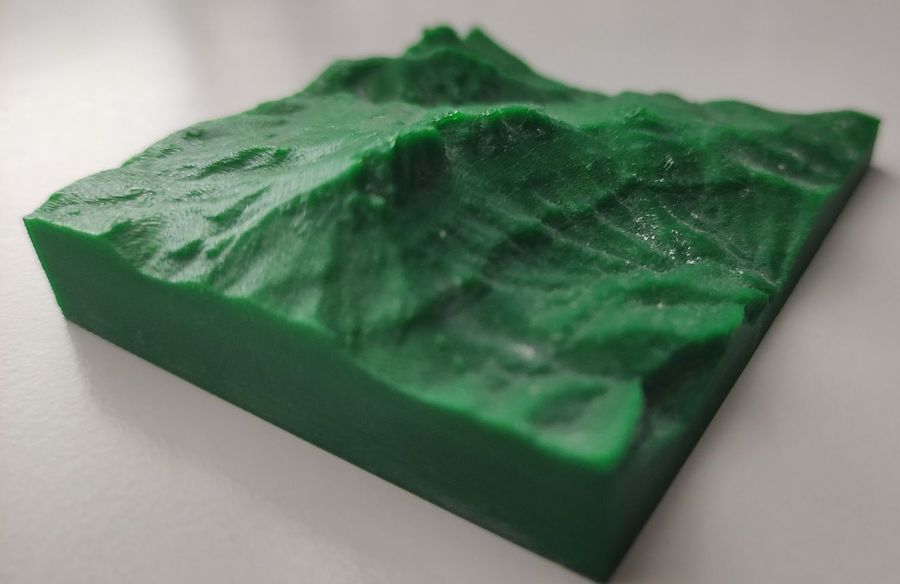 3. 3D Printed
Convert elevation maps to 3D printable models
1. DEM ASC File
2. 3D Model (OBJ/STL)
3. 3D Printed
DEM (.asc) or image (.png, .jpg) — brightness → elevation
Convert DEM (Digital Elevation Model) elevation map files (.ASC) to 3D models (OBJ/STL) that can be processed with any slicer (CURA, Simplify3D, PrusaSlicer) to create GCODE for 3D printers.
DEM files (also called ESRI Height) contain elevation data that can be visualized as a terrain. This tool converts that data into a solid 3D model ready for 3D printing.
DEM files can be downloaded from official sources: